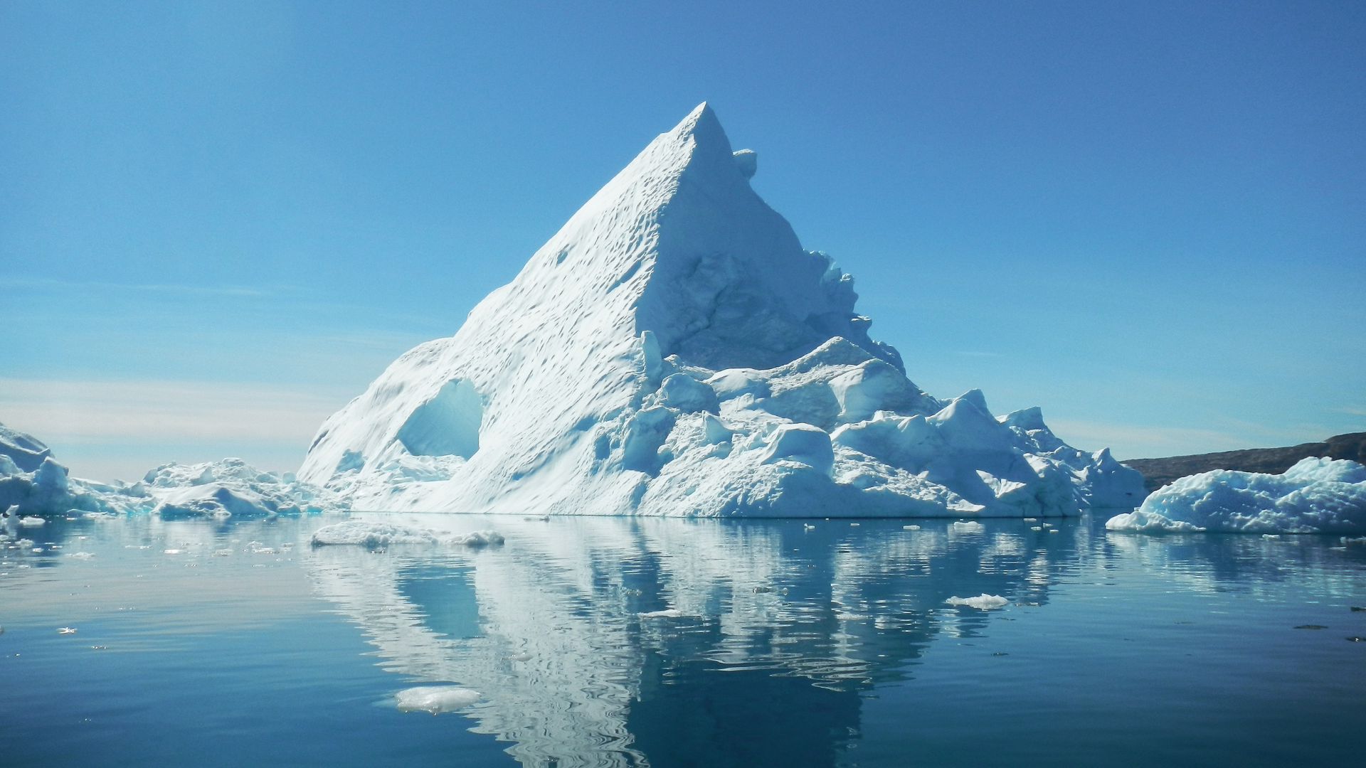
As global temperatures rise due to climate change, the melting of ice sheets has become a major concern. The melting of ice from glaciers and polar regions contributes directly to rising sea levels, endangering coastal communities and ecosystems. Understanding this process is crucial for grasping the broader impacts of global warming on Earth’s climate system.
Ice sheets in Greenland and Antarctica store large amounts of freshwater, and as they melt, that water flows into the oceans. This not only raises sea levels but also accelerates the warming process, creating a feedback loop that further exacerbates climate change. The implications are vast, affecting weather patterns, biodiversity, and human settlements worldwide.
The continued ice melt is a clear indicator of changing climate patterns. Observing the relationship between ice loss and sea level rise can shed light on the urgent need for climate action. Staying informed about these developments is essential for both policymakers and the public as they navigate the challenges posed by a warming planet.
The Science of Ice Melt and Sea Level Rise
Ice melt significantly contributes to global sea level rise, particularly through processes involving glaciers, ice sheets, and sea ice. Understanding these interrelated factors is crucial to comprehending the broader implications of climate change.
Understanding Ice Sheets and Glaciers
Ice sheets and glaciers are massive bodies of ice that store freshwater. As global temperatures rise, solar energy increases ice melt across these formations. The Greenland and Antarctic ice sheets contain the majority of the Earth’s ice mass.
When these ice sheets lose mass, it directly contributes to sea level rise. In recent decades, the rate of ice mass loss has accelerated significantly due to warming temperatures. Both surface melting and calving—when chunks of ice break off the edges of glaciers—play pivotal roles in this process.
Research utilising climate modelling indicates a potential increase in sea levels if current melting trends continue. High-emission scenarios could lead to several meters of sea rise over the coming centuries.
The Role of Sea Ice and Ice Shelves
Sea ice, formed from ocean water, and ice shelves, which are extensions of ice sheets, serve distinct roles in sea level dynamics. Sea ice itself does not contribute to sea level rise when it melts, as it is already floating. However, its presence is critical for regulating the temperature of ocean waters and supporting wildlife.
Ice shelves, on the other hand, are vital barriers. They hold back the flow of glaciers from the land into the ocean. When ice shelves collapse due to rising ocean temperatures, they can unleash large amounts of freshwater, accelerating the movement of land-based glaciers into the sea. This process contributes to elevated sea levels.
The melting of both sea ice and ice shelves reflects broader climate changes and can disrupt local marine ecosystems. As sea ice diminishes, changes in oceanic conditions can further affect climate patterns.
Ocean Circulation and Sea Level
Ocean circulation plays a critical role in distributing heat across the planet. As ice melts, changes in salinity and temperature can alter these patterns significantly. Warm ocean currents can reach the polar regions, accelerating ice melt.
Increased freshwater from melting ice can disrupt the balance of ocean currents, impacting global climate systems. This process can lead to rising sea levels, especially along coastal regions, which are already vulnerable.
Furthermore, the interaction between ice melt and ocean circulation creates a feedback loop that exacerbates climate change. Warmer water leads to more ice melt, which in turn affects ocean currents and temperature. This interconnected system highlights the complexity of predicting future sea level changes.
Impacts of Rising Seas
Rising sea levels pose significant risks to coastal regions, infrastructure, and global climate patterns. Understanding these impacts is critical for preparation and response strategies.
Coastal Flooding and Storm Surges
Coastal areas experience increased vulnerability to flooding due to rising sea levels. When storm surges coincide with higher baseline sea levels, the potential for catastrophic flooding intensifies.
Satellite observations reveal that many regions are already facing annual flooding events. With projections indicating continued sea level rise, cities like Miami and New Orleans are particularly at risk.
Flooding not only disrupts daily life but can also lead to erosion, habitat loss, and saltwater intrusion into freshwater supplies. Communities must adapt to these changing conditions to safeguard their populations and ecosystems.
Consequences for Infrastructure
Rising seas threaten essential infrastructure, including roads, bridges, and sewage systems. Coastal cities often face significant repair costs due to damage from flooding and increased maintenance demands.
Flood-prone areas necessitate infrastructure upgrades, which can be financially burdensome. In places like New York and San Francisco, investments aim to bolster resilience against these challenges.
Furthermore, prolonged exposure can degrade materials used in construction. As a result, planners are shifting towards more sustainable designs and flood-resistant materials to mitigate risks associated with rising waters.
Global Climate Implications
The consequences of rising seas extend beyond local communities. They contribute to a feedback loop in global climate dynamics. Increased flooding and displacement can drive migration, leading to social and political challenges.
Moreover, the loss of coastal ecosystems, like mangroves and marshlands, diminishes natural barriers against storms. Protecting these natural infrastructures is vital for long-term climate resilience.
Understanding the interconnectedness of these issues is essential. The implications for global climate systems highlight the urgency of addressing rising sea levels effectively.
Observing and Projecting Sea Level Change
Accurate observation and projection of sea level change are crucial for understanding the impact of melting ice. This involves utilising satellite data and advanced climate models to track and predict future trends in sea level rise.
Satellite Data and Sea Level Measurement
Satellite observations play a pivotal role in measuring global sea level changes. Instruments like the Jason satellites utilise radar altimetry to precisely measure the distance between the satellite and the ocean surface. These measurements reveal variations in sea level across the globe.
Satellite data shows that, since the early 1990s, global sea level has risen by approximately 3.3 mm per year. This rise results from two main factors: thermal expansion of seawater as it warms and the contribution from melting ice sheets and glaciers.
Key satellite missions include:
- TOPEX/Poseidon: First to provide continuous and precise sea level measurements.
- Jason-1, Jason-2, Jason-3: Continuing the legacy of monitoring sea level rise.
These observations provide critical data for scientists in crafting models and understanding significant trends.
Climate Models and Predictions
Climate models are essential tools for predicting future sea level rise. These models incorporate various factors, including thermal expansion and ice melt, to simulate potential scenarios.
Models like the Coupled Model Intercomparison Project (CMIP) evaluate different climate pathways and their impacts on sea levels. They consider both greenhouse gas emissions and potential responses of the climate system.
Predictions indicate that global sea level could rise between 0.3 to 1.1 meters by 2100, depending on emission scenarios. This variability highlights the importance of immediate action to mitigate climate impacts and adapt to changing coastlines.
Continuous improvements in climate modelling enhance accuracy. As data from satellite observations evolve, so does the precision of projections regarding sea level change.